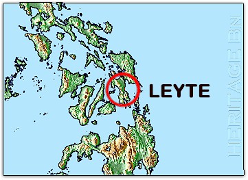
One
of the larger islands of the Philippine archipelago, Leyte extends
110 miles from north to south and ranges between 15 and 50 miles in
width. The land surface presented features both inviting and
forbidding to U.S. military planners. Deep-water approaches on the
east side of the island and sandy beaches offered opportunities for
amphibious assaults and close-in resupply operations. The interior
of the island was dominated by a heavily-forested north-south
mountain range, separating two sizable valleys, or coastal plains.
The larger of the two, Leyte Valley extends from the northern coast
to the long eastern shore and at the time, contained most of the
towns and roadways on the island. Highway 1 ran along the east coast
for some forty miles between the town of Abuyog to the northern end
of San Juanico Strait between Leyte and Samar Islands. The roads and
lowlands extending inland from Highway 1 provided avenues for
tank-infantry operations, as well as a basis for airfield
construction.