|
After returning to Mariveles, we had an afternoon left so we headed
towards the coast west of there. We visited a little village at Biaan
Bay and later walked the trails overlooking Longos Kawayan Point. The
'Battle of the Points' had been fought in this area.
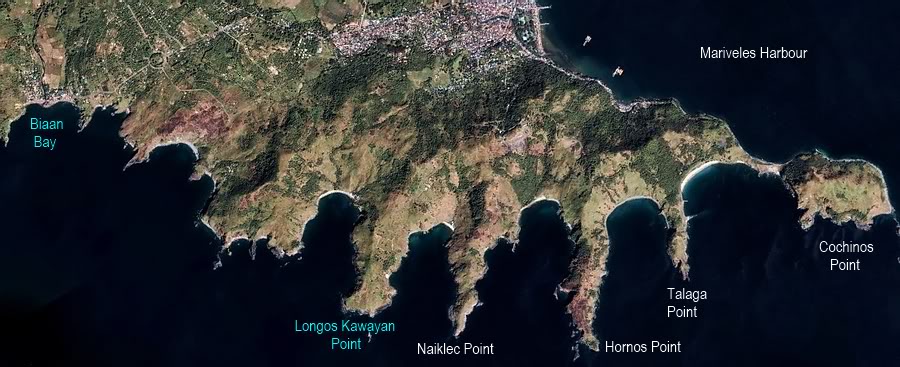
Google Earth satellite photo showing 'The Points' area of Bataan.
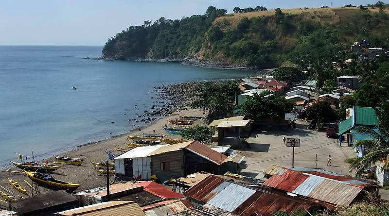
This is a small village in Biaan Bay. I don't see any name for it on the
maps.
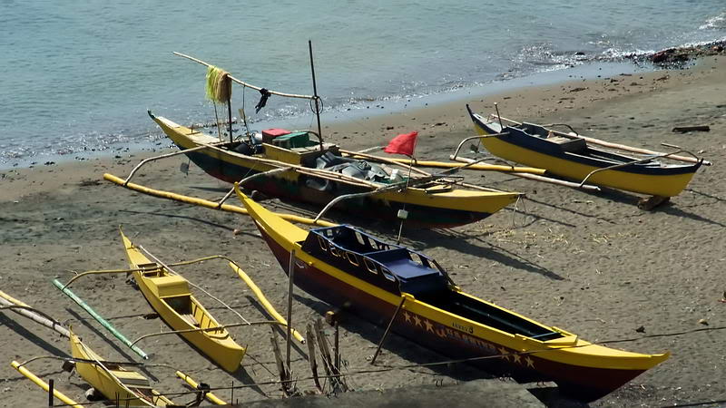
Approaching Longos Kawayan Point
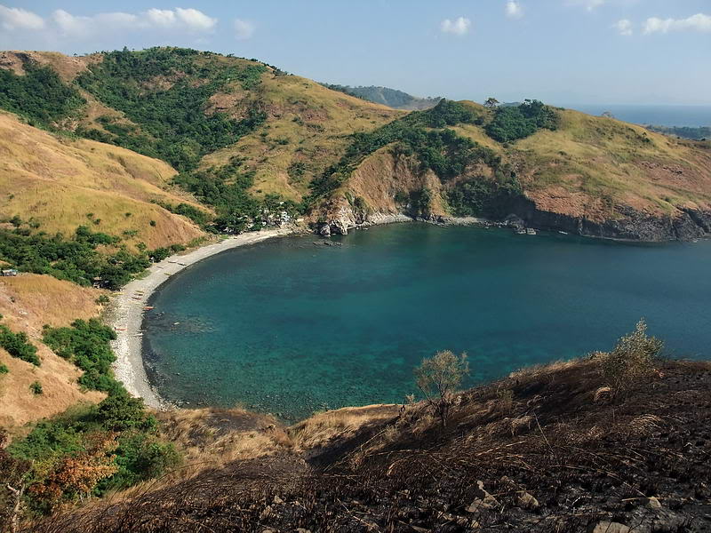
All of the points seem to have nice beaches.
I expect these are the actual locations where the Japanese came ashore.
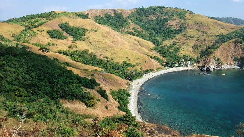
Getting troops off the beach and inland seems like no problem.
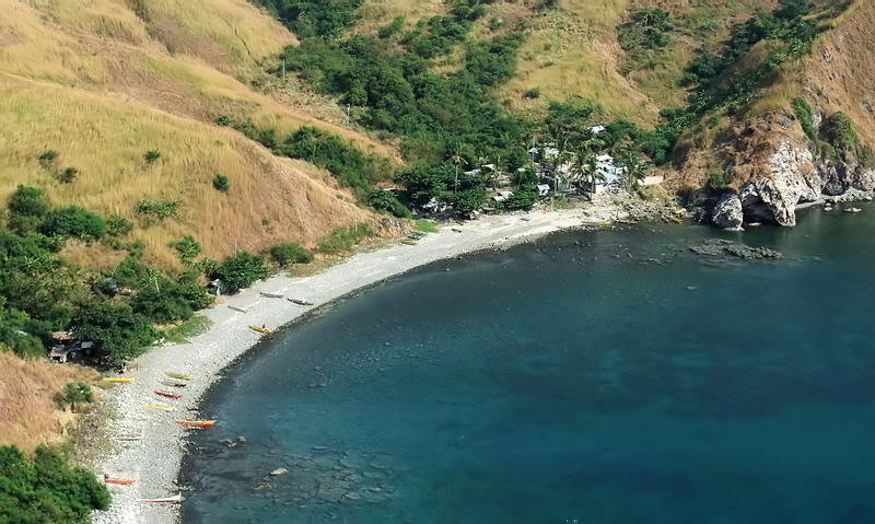
Today a few people live here. I have never read about Filipinos living on
the points during the war but some probably did.
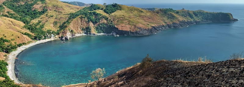
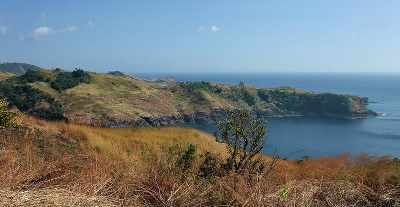
Overall view of Longos Kawayan Point looking south east.
GO TO MARIVELES 3
|