I have often
said that most day visitors have no idea of the amount of structures and
war relics that remain on Corregidor Island. They leave the island
thinking "I have seen it all." I cannot fault them for thinking
that though, no one tells them any different and not a lot can be seen
through the vegetation along the tour route.
Here is
something a little different to illustrate what I am talking about. The
following 1945 aerial photo shows a small section of Bottomside around
Engineer Ravine. Now, almost 70 years later, you see very little of
interest looking from the ferry dock and even less from an aerial photo.
Few people would look this way twice.
Lets see what was there and what remains
today.
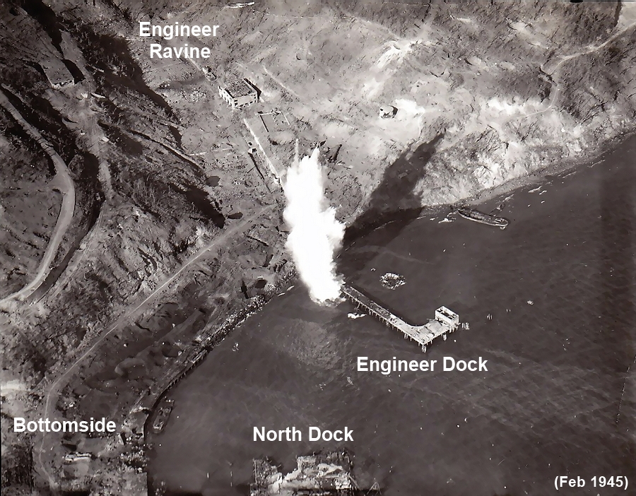
Early morning 1945 photo taken during a bombing mission. This is a
partial view of the north coast of Bottomside.
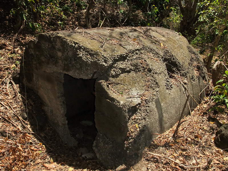
When this photo was taken, the Japs still occupied the island.
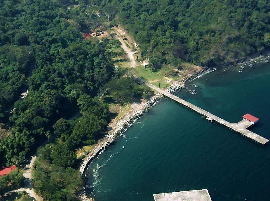
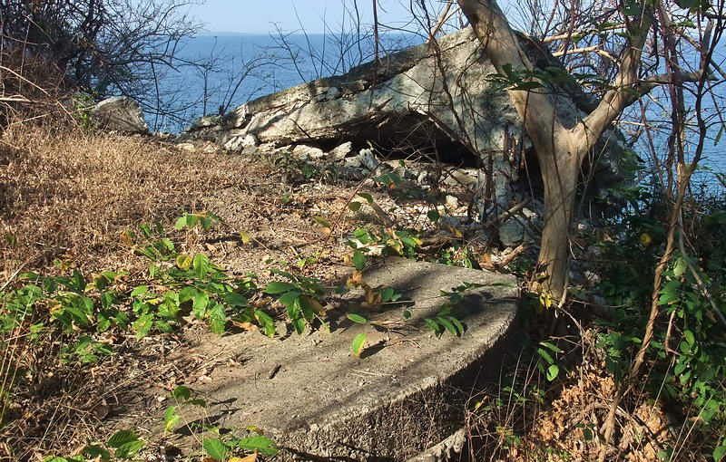
Similar photo of the same area taken in December 2007.
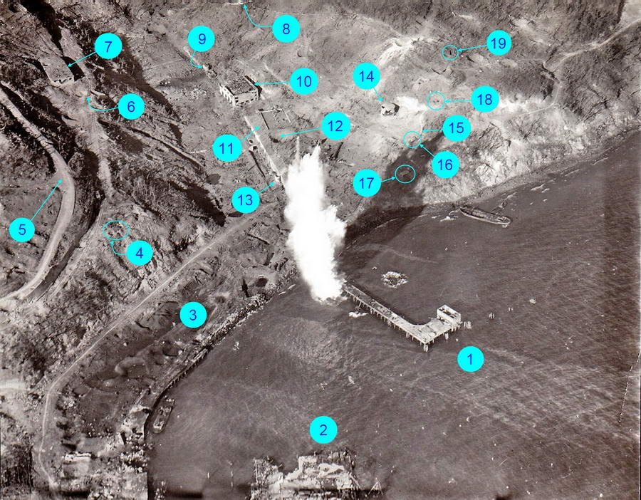
The same 1945 photo with some structures and objects labeled. Refer to
the numbers when viewing the recent photos.
For a larger copy of this labeled 1945 photo,
http://www.pbase.com/fots2/image/134593264/original
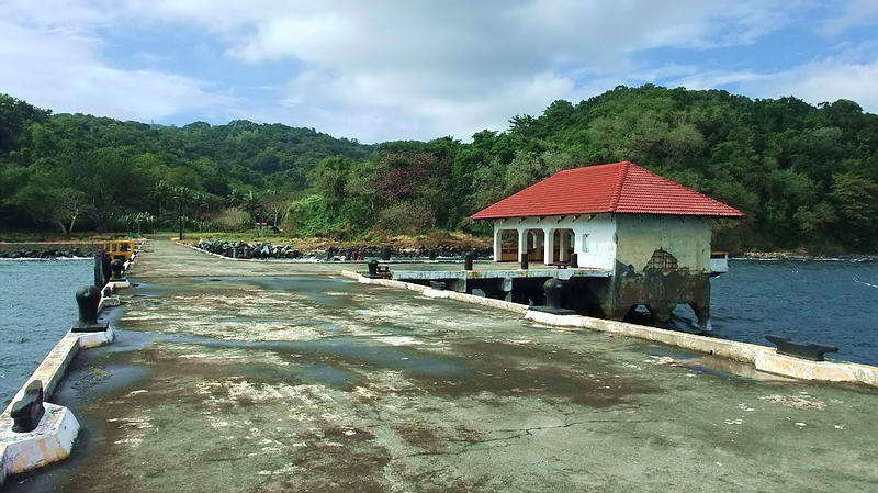
1 - Engineer Dock. I am standing on a section of the dock that did not
exist in 1945. Nothing but trees straight ahead.
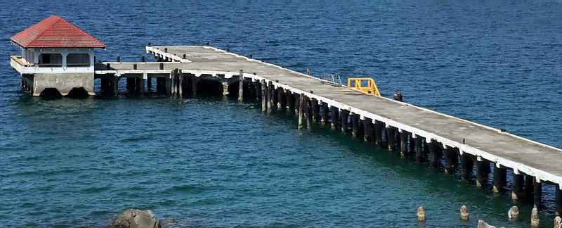
1 - Engineer Dock seen from the top of the Power Plant.
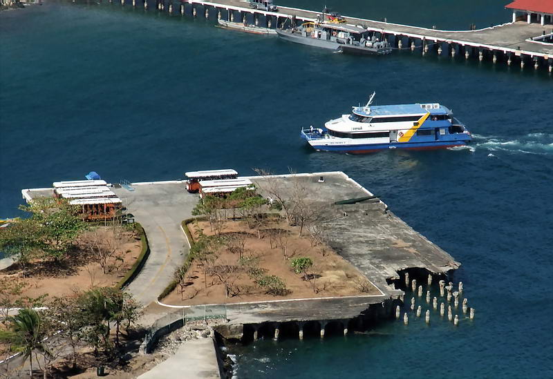
2 - North Dock. The Sun Cruises ferry arrives from Manila.
2 - Looking across the North Dock towards the Power Plant in Engineer
Ravine.
3 - Coal Basin. Even today you can still find coal there.
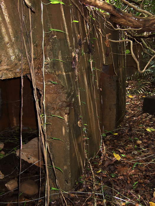
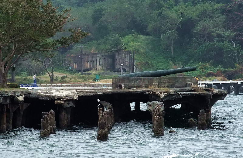
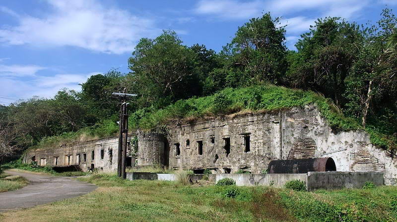
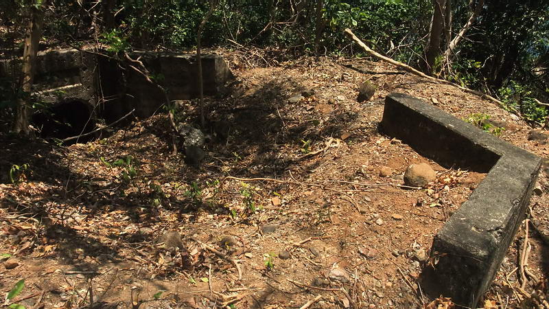
4 - Battery Martin. This battery had two 155mm guns and a center
magazine.
In the 1945 photo, the two black rectangles are the gun positions.
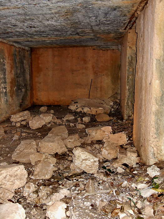
4 - Interior view of the magazine.
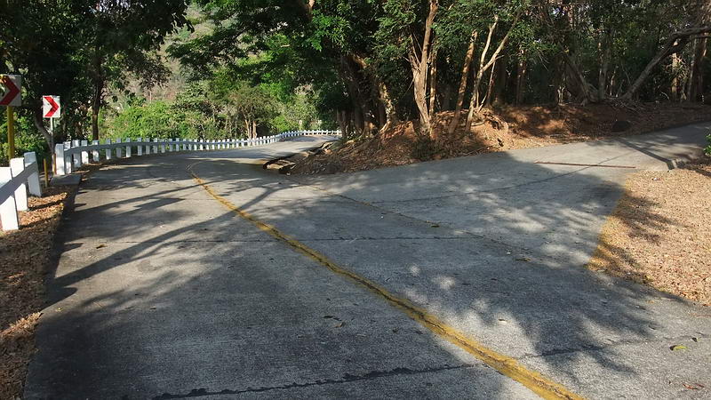
5 - Road intersection. This is where you can go to the Stockade
area from the Bottomside to Middleside road.
As you can see, this road is still in use today. Some of today's roads
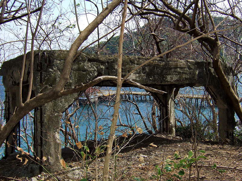
are not old roads, they are former trolley lines.
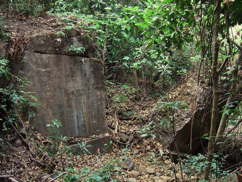
6 - Trolley Bridge. Shells or bombs have completely destroyed
this bridge on the trolley line up to Middleside.
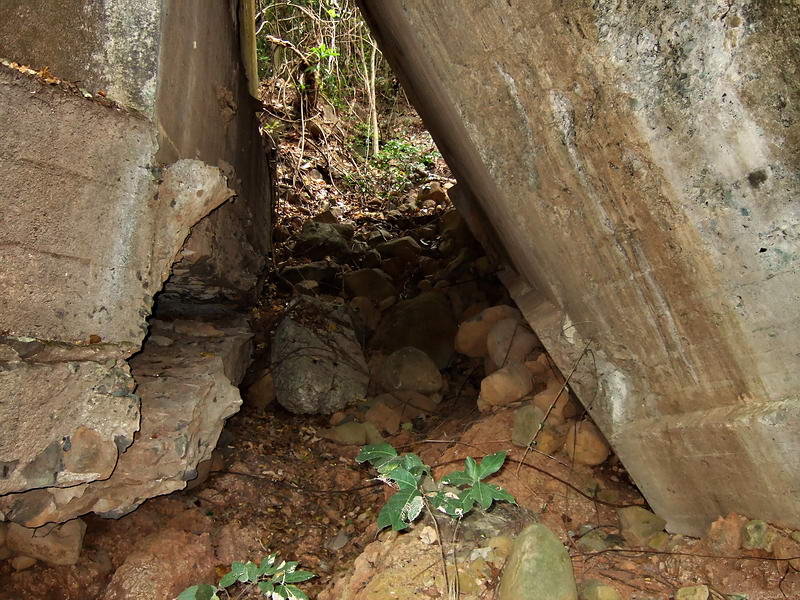
6 - Large broken chunks of concrete that was the trolley bridge.
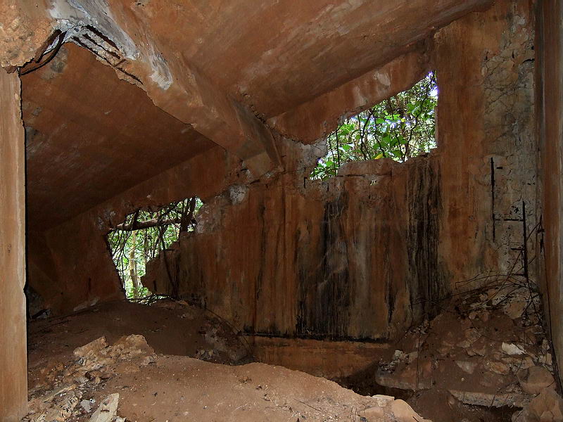
7 - Building 533, Ammunition Magazine. A large portion of the roof is
collapsed now.
7 - Another view inside the magazine.
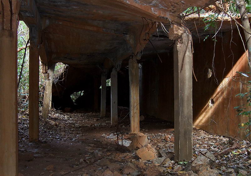
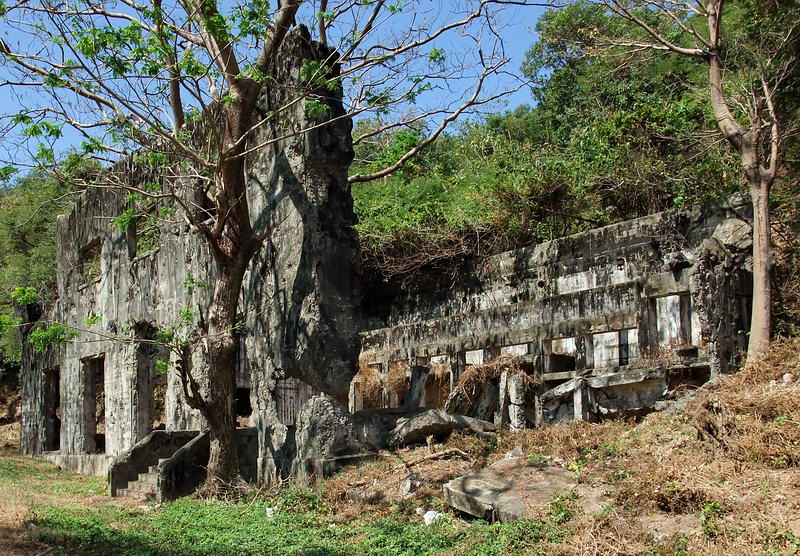
8 - Building 297, Civilian Employees Quarters.
This was a wooden
building so all that remains today are the concrete support pillars.
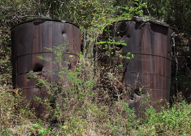
9 - Oil tanks.
10 - Building 313, Diesel Power Plant.
10 - Another view of the Diesel Power Plant.
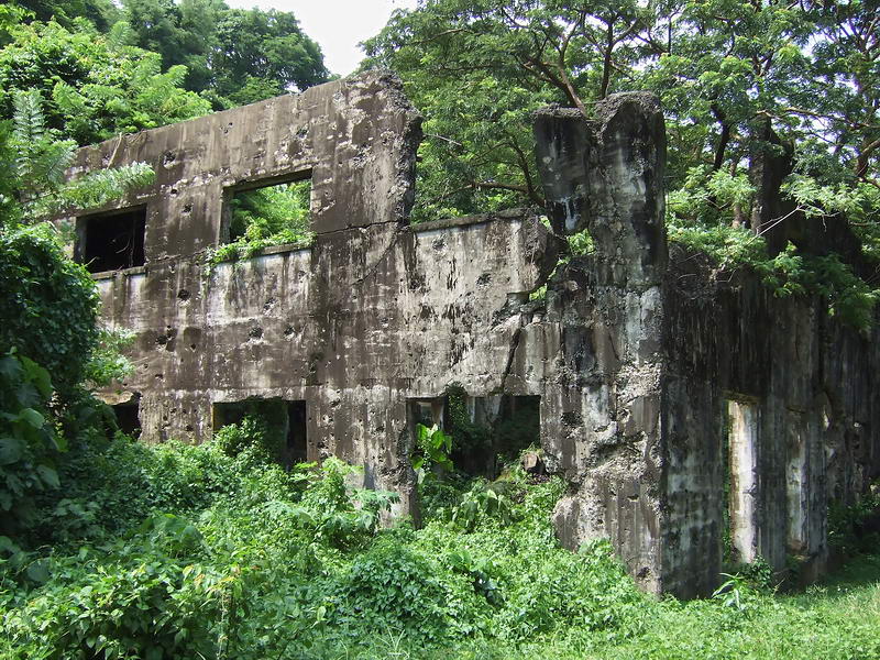
11 - Building 311, Central Electric Storage Plant. Overall view of the
building built into the hillside.
It is usually just called the 'Power
Plant'.
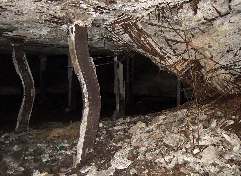
12 - A direct hit during a US bombing mission penetrated the roof of the
Power Plant.
The force of the blast also bent adjacent steel support
columns.
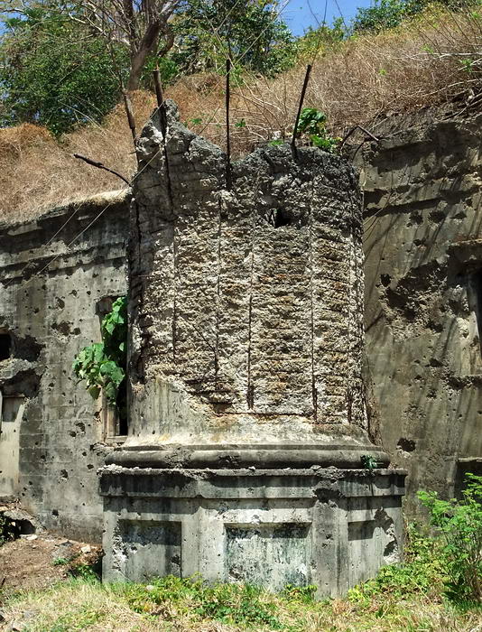
13 - What remains of the Power Plant's smoke stack.
14 - Building 20, Fresh Water Tank #9. You can see the circular base of
the tank
but the roof and most of the walls have collapsed.
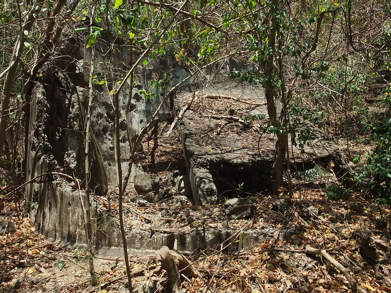
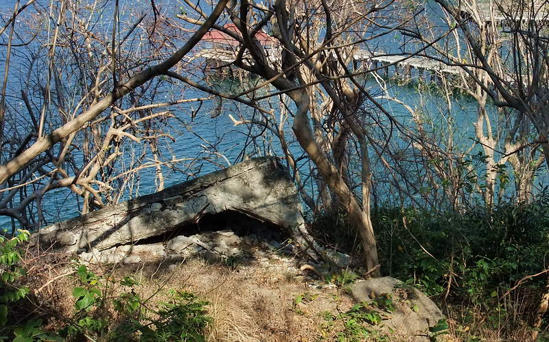
15 - Pistol Target Range. This is a flat concave area into the hillside
beside the water tank.
Maps identify it being used for this purpose however nothing remains to
indicate this.
(You can barely see a concrete structure straight ahead).
16 - Here is that same concrete structure. It is not labeled on any maps
but due to its location,
I suspect it may have been used as a magazine for small arms ammunition.
It is directly in front of the Pistol Target Range.
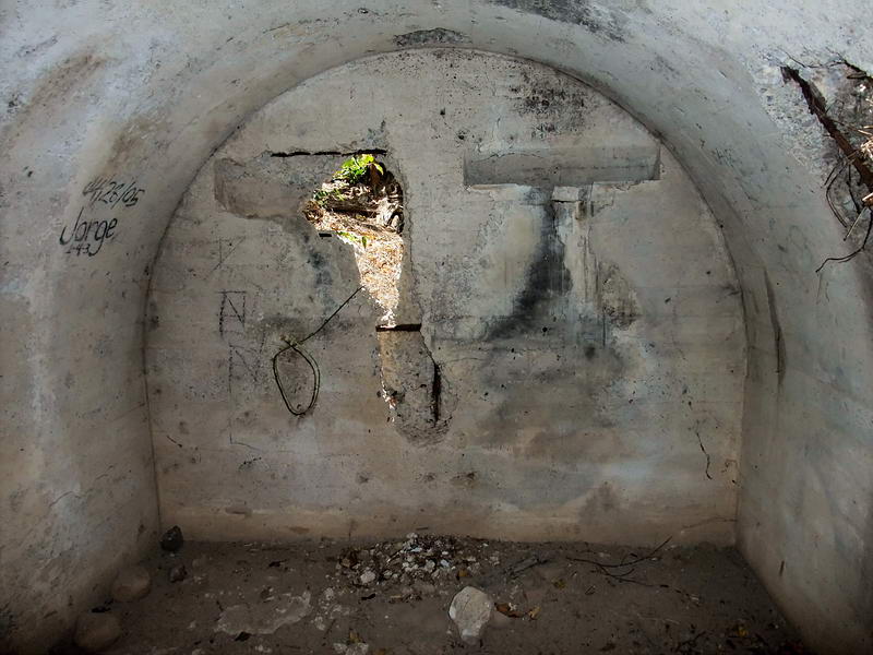
16 - Interior of this possible magazine.
17 - Covered 6 pounder Pedestal Mount. Normally I would call this a
covered 75mm gun shelter but maps show this as a one
of two 6 pounder
gun positions.
I read that the guns were similar but not the same. Perhaps this early
defensive position was
not used at all during WWII.
17 - Late last year I was surprised to see that it had collapsed and it
seems only rebar is preventing
the roof form ending up on the beach
below.
17 - Another view of the now collapsed shelter. Note the rounded
pedestal in the foreground of the photo. Could the collapsed structure
actually be a later constructed 75mm gun shelter? Is the inland pedestal
one of the 6 pounder pedestals that was not to be used any more? There
is an underground magazine not far behind this pedestal which is what
you usually see at those old 1917 era positions. I need another look
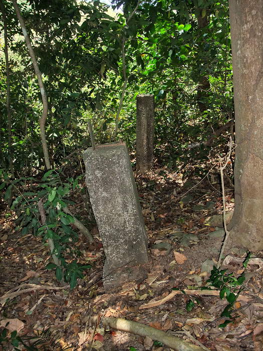
around here.
18 - VII-F-2 and magazine entrance. (Sector 7, Field gun #2). Looking
out the near buried gun #1 position, you can also see the entrance to
the center magazine to the left. The second entrance and the Gun #2
position are out of view further left. The two black dots in the 1945
aerial photo would be the two magazine entrances. This position is the
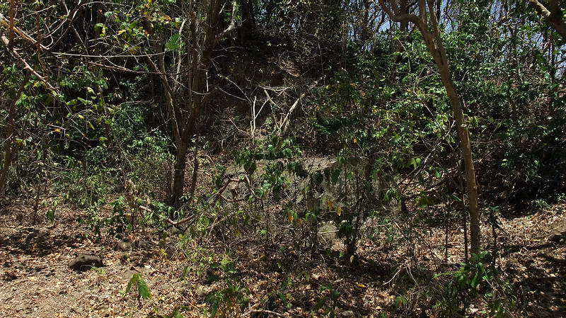
only concrete structure a short ways above the Pistol Target Range.
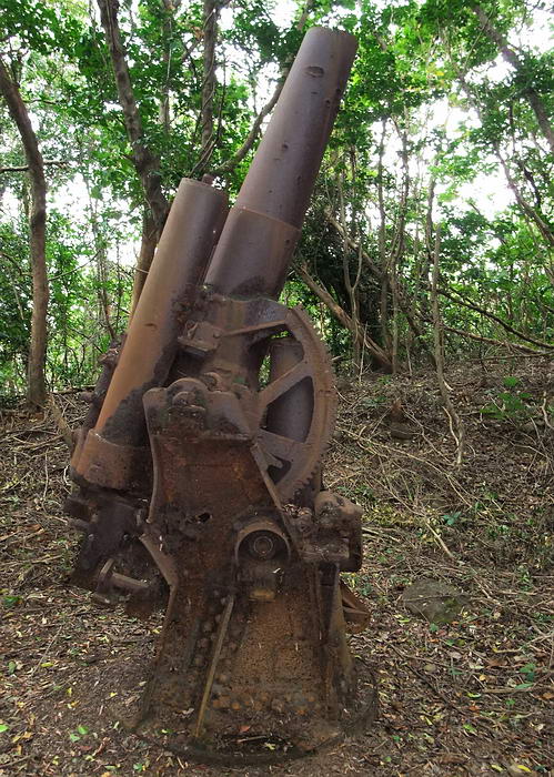
19 - Near the top of the ravine and beside an old road stands a Japanese
anti-aircraft gun.
It is the only such gun still sitting in its wartime position. Years ago
scrappers removed half the barrel.
What you have seen in this small area is just a sample of what remains
there. Imagine what you can see elsewhere on Corregidor if you are
willing to get off the road. By far, most people are happy with the boat
ride, a quick tour and a buffet lunch. As they head back to Manila I
think I'll stick around and explore some more. To each his own.
:-)